![]()
About Batna
City in northeastern Algeria with 270,000
inhabitants (2005 estimate), at an elevation of 1,038 meters, along the
Wadi Tilatou north of the Aurès Mountains and south of the Batna
Mountains. See the Maps 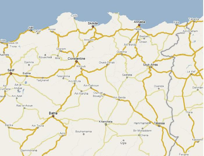
It is the capital of Batna province with 1.1 million inhabitants (2005
estimate) and an area of 12,192 km².
Batna serves as the market center for the surrounding agricultural region.
In addition to agricultural products, forest products play an important
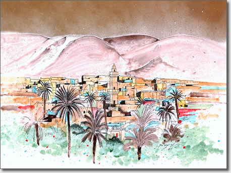
part in the city's economy. Batna earlier experienced tourism due to its
proximity to two ruined Roman cities.
Batna is connected to other urban centres by road and rail. The main highway
leads to Annaba on the coast of the Mediterranean Sea.
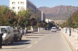
Batna's centre is still the same as the one planned by the French, and
is dominated by rectangular streets and some tree-lined avenues. The walled
military quarter lies to the east, and Algerian-planned quarters surround
these. Nearby are the Roman ruins of Timgad and Lambaesis.
Batna has two universities made of several campuses.
HISTORY
1844: Is founded as a French military fortress, in order to control the
El Kantara Pass between the Atlas Mountains and the Sahara and to patrol
the neighboring mountains.
1848: A town is founded near the military fortress, and called Nouvelle
Lambese.
1849: Renamed Batna.
The Batna Region